This property was acquired for water supply protection pursuant to the Massachusetts General Laws Chapter 40N, Section, and Article 97 of the Amendments to the Massachusetts Constitution and will remain in a natural, scenic and open condition for the purpose of wildlife conservation, forest health and drinking water supply protection.
Acreage
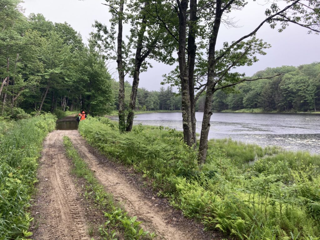
The Sprague Conservation Area is 838.505 acres.
Parking/Access
Sprague Conservation Area is accessible via Blandford Road in Tolland, or through the abutting public recreation areas of Tolland State Forest and MDC land.
History
The property was purchased from the Sprague Family Trust in 2002.
Permitted Recreational Activities
- Hiking
- Cross country skiing and snowshoeing
- Snow vehicle usage with written authorization from the commission
- Non-commercial hunting
- Plant and wildlife observation
Prohibited Recreational Activities
- Campfires, open fires, cookouts, or picnics
- Camping
- Mountain biking
- Filing, storing, placing, or dumping of any kind
- International introduction of any non-native plant, animal, or insect
- Activities detrimental to drainage, flood control, water conservation, water quality, erosion, etc.
- Domestic animals or livestock
- Drunkenness, breach of peace, profanity, disorderly conduct
- Vandalism
- Construction of any object or structure
- Swimming or wading
- Fishing
- Organized sports activities including but not limited to orienteering, road races, etc.
- Public assemblies or groups of more than 10 persons unless with written permission from the commission.
- Motorized vehicles of any kind
- Boats, of any kind, with or without motors
- Metal detectors or the use of similar devices
Notable Features
Sprague Conservation Area abuts other areas open for public recreation – Tolland State Forest to the north and west, and Metropolitan District of Connecticut land to the south.
Amos Case Road – This public road passes through the center of the Sprague Conservation Area. While the road is not passable with a vehicle, it makes for a great hiking trail through the property.
Sizer Cemetery – This cemetery is located in the northwest portion of the property. It contains 3 grave sites from the Sizer Family.
Stone Foundations – Several stone foundations can be found in the conservation area off Amos Case Road. These include remains from homes and barns dating back to the early 1900s.